Published on
Updated on
This story appears in our MU CAFNR/Agricultural Experiment Station Research Magazine.
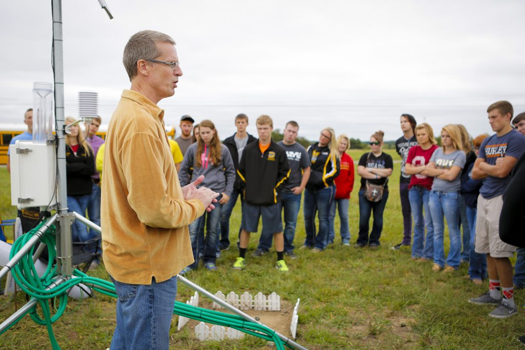
It was 30 years ago when Pat Guinan, with the help of the University of Missouri’s Extension Commercial Agriculture Program, established the first of a small network of automated weather stations in northwest Missouri.
The network, known as the Missouri Mesonet, now includes 40 weather stations – 32 of which provide real-time weather updates. The network covers 30 counties in Missouri.
“The Missouri Mesonet has provided opportunities for educational programs, teaching, research, innovation, discovery and service to communities,” said Guinan, state climatologist and MU associate extension professor of climatology. “The benefit to MU, Missouri, the Midwest, U.S. and world is significant – providing important metadata information as well as environmental, historic and near real-time data for agriculture, industry, commerce, public safety, education, research and global climate assessment.”
The MU College of Agriculture, Food and Natural Resources’ Missouri Agricultural Experiment Station (MOAES) has benefited from the Missouri Mesonet, as several of the weather stations are located on MOAES properties.
Cornett (Linneus), Greenley (Novelty), South Farm (Columbia), Bradford (Columbia), Sanborn Field (Columbia), Fisher Delta (Portageville), Lee Farm (Hayward), Rhodes Farm (Clarkton) and Southwest (Mt. Vernon) are all home to stations.
“The real-time weather station at South Farm is invaluable to the farm as well as the local community,” said Tim Reinbott, director of construction services and communications for the MOAES, as well as assistant director for natural resources for the Central Missouri REEC. “Local farmers and radio stations rely on it to provide up-to-date information on up-to-the-minute soil and air temperatures to help plan their work schedules. Many check it several times throughout the day. For example, during a recent three-month period, the real-time weather station at Sanborn Field was accessed more than 680,000 times.”
Guinan has worked with John Travlos, SNR system administrator, since the first weather station was established. Travlos and Guinan co-manage the network, and they, along with part-time staff, provide vital contributions to the operating, maintaining and sustaining of the network.
The network has undergone various changes throughout the years, one of which includes updates to the Missouri Mesonet website, which happened in 2021.
“The network has become an important economical and environmental data resource for Missourians, and others, and using this information can increase efficiency which translates to statewide savings each year,” Guinan said.
Real-time weather data is incredibly important for farmers and landowners. Keeping track of when potential storms could hit gives farmers and landowners an opportunity to prepare for critical situations.
“In the spring, I always get responses from area farmers anxious to plant corn – they monitor our soil temperature data daily in order to determine when the temperature is right to plant,” said Dave Davis, Cornett Farm senior farm manager. “Local co-ops also monitor the data for similar purposes.
“Some farmers travel long distances in order to farm. Many of these farmers check our station for rainfall in order to determine if field conditions are conducive to doing field work prior to moving equipment into our area.”
Whether farmers and landowners are spraying or conducting controlled burning, up-to-the-minute weather reporting is vital to their operations.
“Agriculture and weather – you really can’t separate the two,” Guinan said.
The stations track seven standard variables – air temperature, humidity, wind speed, wind direction, soil temperatures at various depths, rainfall and solar radiation.
“For example, soil temperatures are important because farmers and gardeners want to know those temperatures in the spring because of planting,” Guinan said. “Corn won’t germinate when that soil temperature is much below 50 degrees. The longer that seed sits in the soil, the more vulnerable it becomes. Producers can look at those temperatures and make an assessment on when the best time to plant would be. Air temperature and humidity are important to watch because it impacts livestock and people.
“Each variable carries significant weight.”
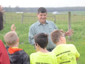
The Missouri Mesonet has a far reach that often extends outside of the agricultural bubble, too.
“In 2020, the total number of actual internet visits made to our Missouri Mesonet real-time webpages was more than 26 million,” Guinan said. “In hindsight, the Missouri Mesonet has not only been successful in the agricultural realm, but its application has transcended numerous other vocations and interests. In addition to agriculture, the network has provided information for national, state, and local agencies, utility companies, insurance companies, law firms, building contractors, engineers, environmental impact assessments, risk assessments, university research and extension, K-12 education, media and the general public.”
The National Weather Service can take the data that the Missouri Mesonet collects and issue warnings and alerts, which keep the public in the loop about severe weather issues.
“There’s a public safety component in providing real-time weather conditions,” Guinan said. “All of our data is sent to the weather forecast service offices and the NWS, and they use that information for doing their surface analysis and for looking at severe weather criteria. If you have a thunderstorm event where you get a 58-mile-per-hour wind speed, the weather service will see that and can use that information to issue a severe thunderstorm warning.”
All of the data is archived as well and is available on an online database, going back to 2000. The long-term data is also valuable for farmers and landowners.
“All of this data can go into crop models, insect models or disease models,” Guinan said. “There is a lot of value in real-time data. Having a long period of recorded weather is just as valuable because you get a climatology of the area. You get an idea of what’s extreme and what’s average. You can use that information to look at the trends that we see from decade to decade.”