About
Columbia (.25 acre)
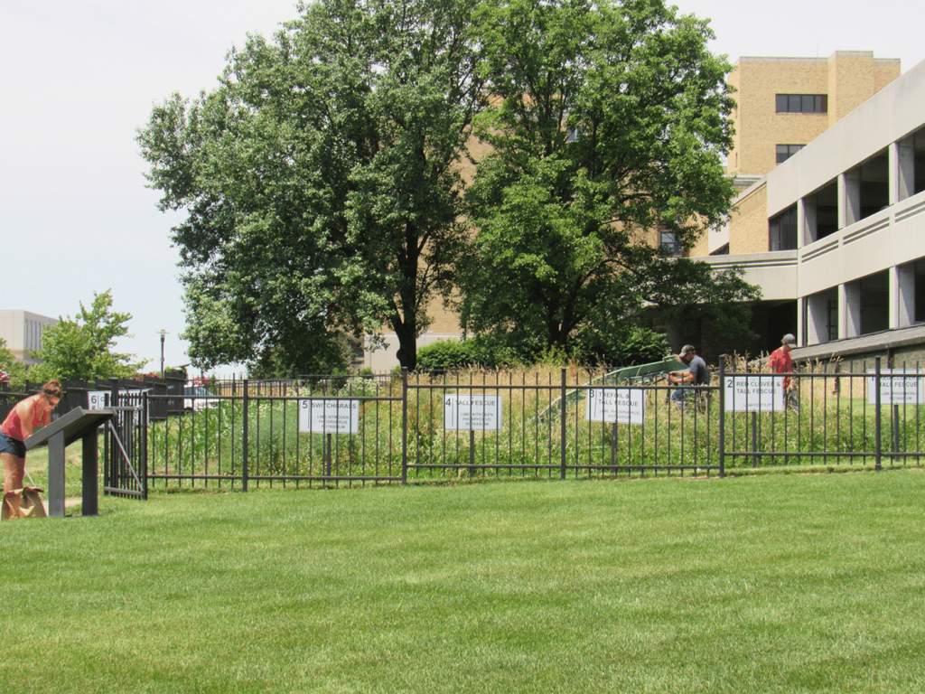
The quarter-acre island of corn and forages in the sea of an urban medical campus is all that remains of the old MU Horticulture Farm, part of the original endowment that helped establish the Missouri College of Agriculture. As MU expanded over the decades, the campus moved further into this property with buildings and other uses. Today, much of Mizzou’s academic campus, several residence halls, MU Health Care and Mizzou Athletics occupy this land.
The Duley-Miller plots began when undergraduate R.W. McClure asked his professor Merritt Finley Miller a simple question in 1915 about how much water and soil run off there was after an intense storm. That question resulted in an undergraduate thesis and a graduate thesis by Manning Vifquain. In 1917 Frank Duley and M.F. Miller expanded the plots to study cropland soil erosion, resulting in scientific measurements of soil erosion. Hugh Hammond Bennet, the “Father of Soil Conservation”, cited data from these plots in his 1928 USDA circular, “Soil Erosion: A National Menace.” This highly influential publication eventually led to the formation of the USDA Soil Conservation Service, now known as the Natural Resource Conservation Service (NRCS).
Because of the historical significance of the work done on the plots, they were designated a National Historic Landmark in 1965. In honor of Frank Duley and M.F. Miller, the location was named the Duley-Miller Erosion Plots in 1988. Productivity from different grain and forage treatments is still measured today using those original six plots developed by McClure and Vifquain.
Directions
Hospital Drive and Hitt Street
Contact
For general questions, contact Tim Reinbott, 573-882-4450
Staff
- Tim Reinbott, reinbottt@missouri.edu, 573-882-4450
Research Highlights
- Experiments to measure runoff and soil erosion.
Extension & Education
- CAFNR students gain research and educational experience at AES REEC across the state.
- MU Extension – Agriculture and Environment Program